Maps have always been more than just drawings. They reflect human curiosity, serve as tools of power, and guide our journeys into the unknown. From the first outlines scratched on clay tablets to the algorithms shaping our GPS routes today, the story of cartography also tells how we explore the world. As we enter a new era shaped by artificial intelligence, maps continue to evolve in ways early navigators could never have imagined.
Charting the World Before Paper
The earliest maps were not focused on perfect scale or precise directions. They were tools for survival.
Babylonians etched rivers and boundaries onto clay tablets.
Egyptians mapped farmland along the Nile for tax collection and flood control.
Chinese scholars created silk maps that showed kingdoms, roads, and celestial alignments.
Instead of being purely scientific, these maps combined myth, memory, and observation. Mountains might be drawn larger than life, oceans filled with sea monsters, and borders defined by politics rather than measurements. Yet they all pointed to one universal truth: people needed to make sense of the space around them.
Maps of Discovery and Power
The great voyages of the 15th and 16th centuries required more accurate maps. Sailors could no longer depend on vague sketches while crossing oceans.
- Portolan charts provided mariners with practical routes between ports, covered in crisscrossing lines for navigation.
- Latitude and longitude grids, inspired by Ptolemy’s ancient work, were revived and improved.
- Surveying tools such as the astrolabe, quadrant, and compass gave explorers a way to measure their positions.
Maps during this time were not just tools for travel; they were symbols of empire. Whoever controlled the map often controlled the story of discovery. The boundaries drawn on parchment frequently determined land ownership long before settlers arrived.
Satellites, Screens, and the Digital Revolution
By the 20th century, exploration had taken to the skies. Airplanes and satellites turned mapmaking into a precise science.
Aerial photography allowed geographers to view entire landscapes at once.
Landsat satellites, first launched in 1972, provided continuous Earth imagery for agriculture, conservation, and disaster response.
GPS technology, which was once exclusive to the military, became available to the public in the 1990s, changing how people navigated the world.
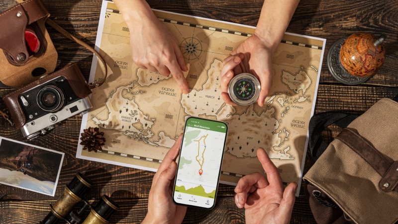
Soon, paper maps were replaced by digital maps on our devices. Real-time traffic updates, interactive layers, and zoomable views made traditional atlases feel outdated. Cartography was no longer static; it was live.
AI Joins the Mapmakers
Artificial intelligence has become the latest tool in exploration. Machine learning systems can now read, restore, and improve maps in ways that humans cannot do alone.
- Digitizing the past: Algorithms scan centuries-old maps to extract details of forgotten towns, forests, and riverbeds.
- Smart navigation: AI enhances GPS accuracy by predicting traffic, identifying safe routes for pedestrians and cyclists, and adjusting directions in real time.
- Autonomous vehicles: Cars use AI-driven, high-definition maps to “see” roads and intersections much like human drivers.
In archaeology, AI-assisted mapping discovers buried ruins by analyzing subtle patterns in aerial images. In short, this technology helps us understand both history and the future.
When Maps Inspire More Than Travel
Maps do more than show us where to go; they also inspire how we feel about the journey. Artists, educators, and creators are now combining maps with various forms of media to create immersive experiences.
- Virtual reality tours allow you to walk through reconstructed ancient cities.
- Augmented reality maps overlay historic battlefields onto today’s landscapes.
- Digital artists twist map projections into surreal images that comment on culture and politics.
Increasingly, technology allows us to hear journeys as well as see them. Adobe, for instance, recently introduced a free AI text-to-music generator that enables creators to turn words into melodies. Imagine typing “sunrise over the Himalayas” and generating a soundscape to match your route on a trekking map. This combination of cartography and creativity opens a new chapter: exploration as a multisensory experience.
Tomorrow’s Horizons in Mapping
Looking ahead, the boundaries of maps will stretch even further.
- Real-time environmental maps will monitor wildfires, floods, and climate change with near-instant updates.
- Personalized maps will recommend cultural sites, natural wonders, or hiking routes based on each traveler’s interests.
- Cross-platform storytelling will merge maps, audio, and video, enabling users to navigate through history, science, and art simultaneously.
In this future, a map won’t just show us what exists; it will create an experience tailored to each traveler.
Mapping Sound and Space: A Journey’s End
From clay tablets to AI algorithms, the tools we’ve used to chart the Earth reflect more than just geography; they reveal who we are as explorers. Each generation has added new layers: myth, science, politics, satellites, and algorithms. Today, with tools that blend maps with music, motion, and imagination, the journey has become more personal.
Exploration no longer ends at the edge of the map. It continues in the stories, sounds, and feelings that accompany us. In the end, maps are not just about finding our way; they’re about discovering what it means to keep searching. See more: MyFastBroker.com Stock Brokers
FAQs
Q1: What was the first known map?
The oldest surviving map is the Babylonian “Imago Mundi,” carved on a clay tablet around 600 BCE, showing the Euphrates River and nearby lands.
Q2: How did GPS change mapping?
GPS brought real-time, global accuracy to mapping. It shifted maps from static documents into live navigation systems accessible on any smartphone.
Q3: How is AI used in cartography today?
AI is used to digitize historical maps, predict traffic, guide autonomous vehicles, and analyze satellite images to reveal environmental and archaeological details.
Q4: Can maps be used for creative purposes?
Yes, artists and educators increasingly use maps for storytelling, art, and immersive experiences, sometimes pairing them with tools like AI-generated music.
Q5: What comes next in mapping technology?
Future maps will be real-time, personalized, and multimodal,a blending of visuals, data, and soundscapes for deeper exploration experiences.